Our Big Adventure in 
A subset of the pictures from the trip. As always, clicking on the picture will open a larger image.
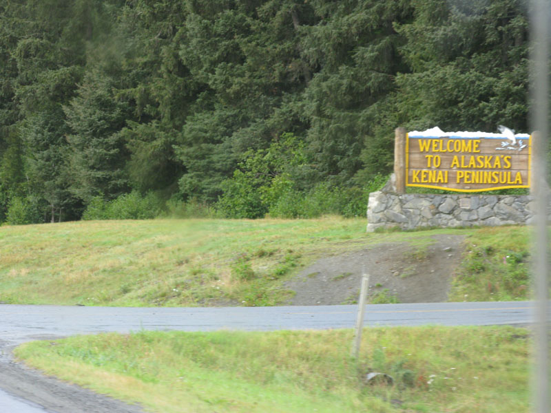
This page covers the next two parts of the trip, a loop around south central Alaska and a visit to the Kenai peninsula.
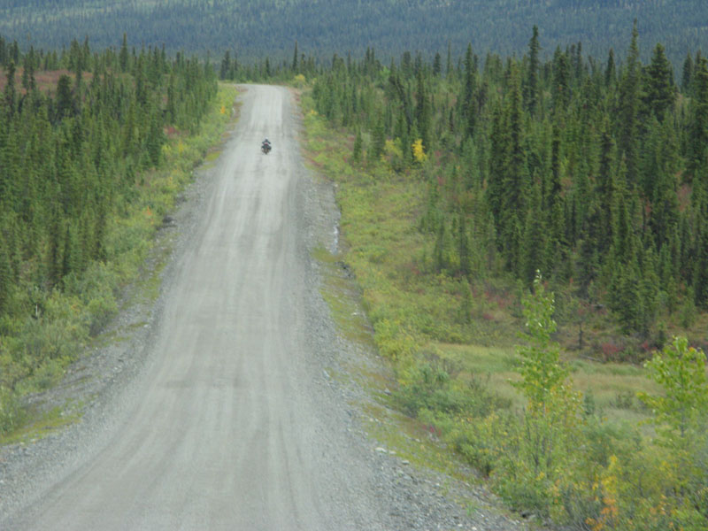
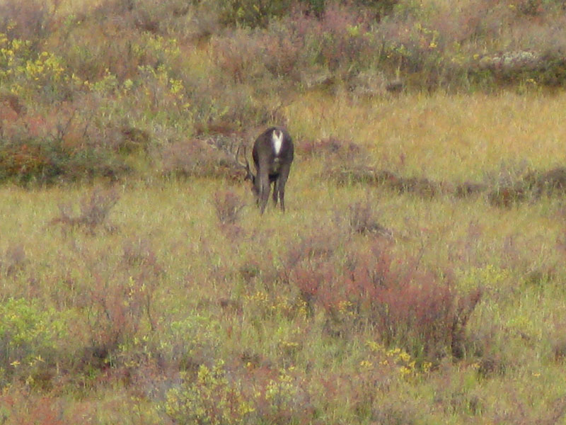
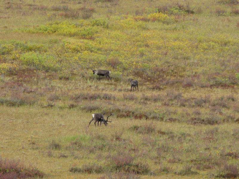
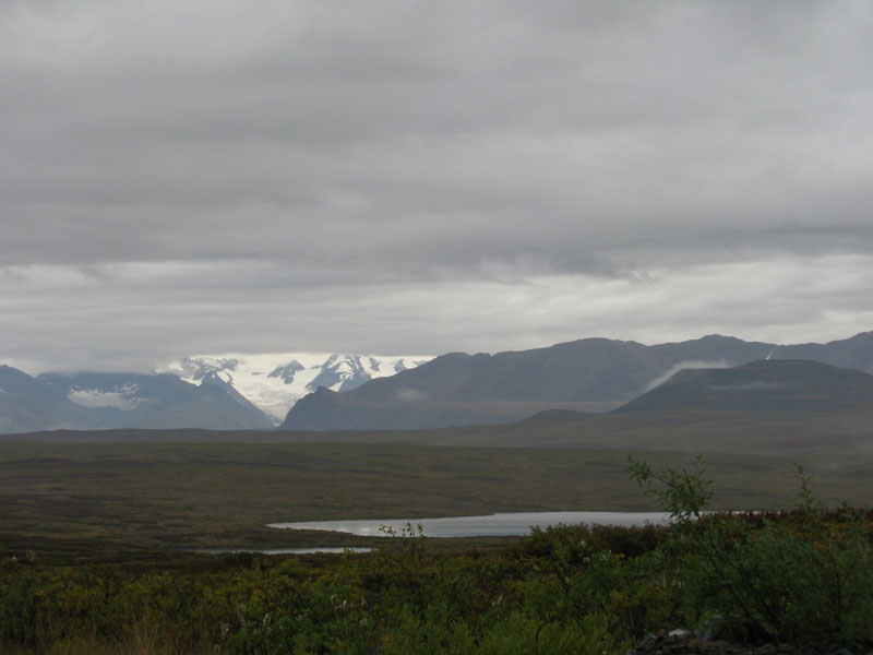
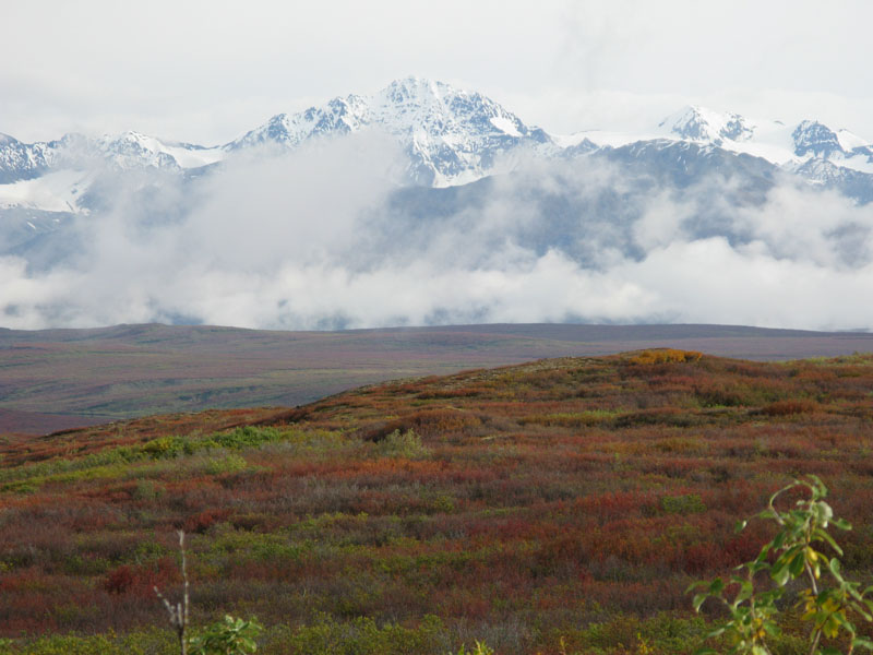
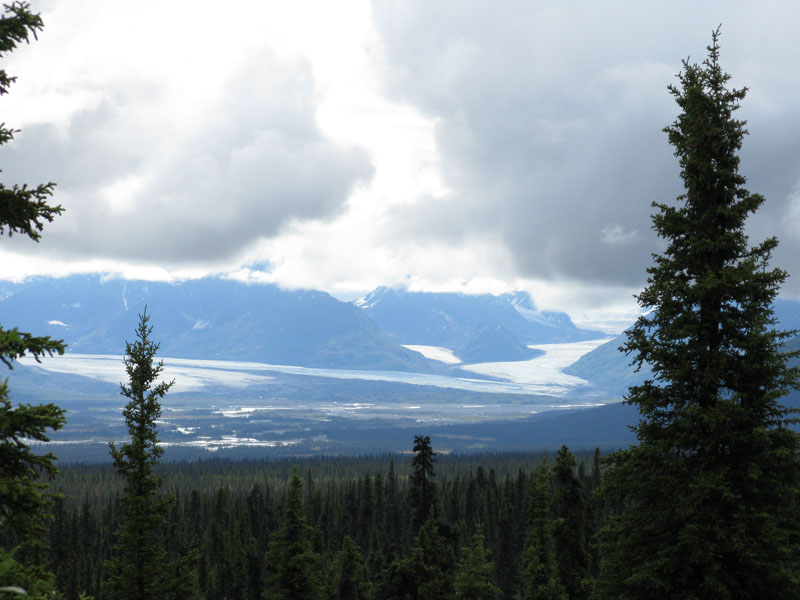
After leaving Denali National Park, we drove across the Denali Highway. This gravel road opened in 1956 and was the original road providing access to the national park (the George Parks Highway from Anchorage to Fairbanks had not yet been built). I'm not sure if the road's condition has improved or worsened since then. As we drove east, the trees slowly disappeared until there was just open tundra with the Alaska Range off to the north. It was mostly overcast and sometimes raining during the drive. We stopped late in the afternoon and were rewarded with a bit of sunshine lighting up a glacier off in the distance.
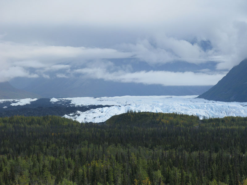
The next day started with driving through low clouds as we climbed up to the highest road pass in Alaska. The clouds cleared up for some more nice views of the Alaska Range. The Denali Highway ends at the Richardson Highway. This runs from Valdez up through Fairbanks and beyond. As we headed south, the Alaska pipeline paralleled the road for a ways. It was temping to take a side trip east to Canada but we kept to the plan and headed west on the Glenn Highway back towards Anchorage. We camped at a state park overlooking the Matanuska glacier.
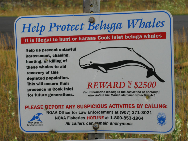
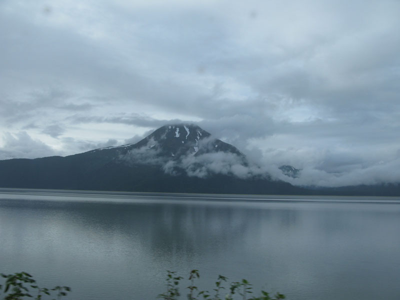
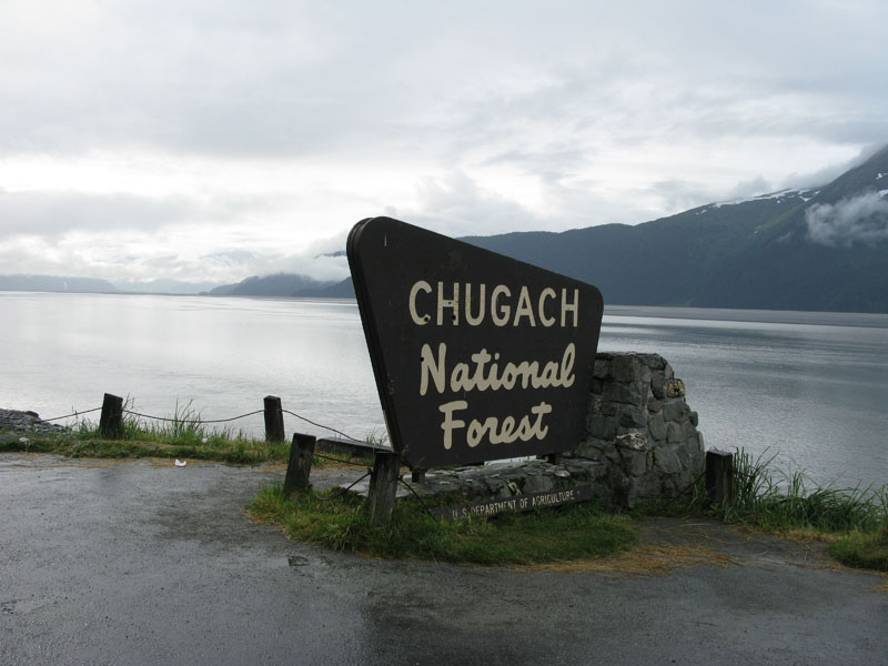
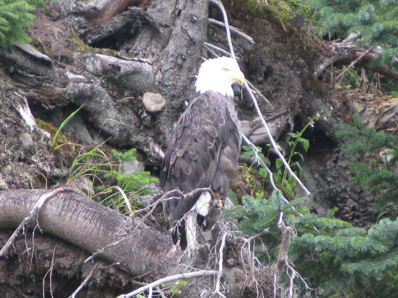
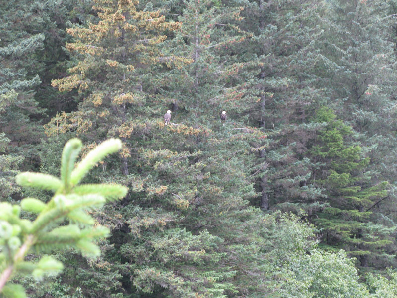
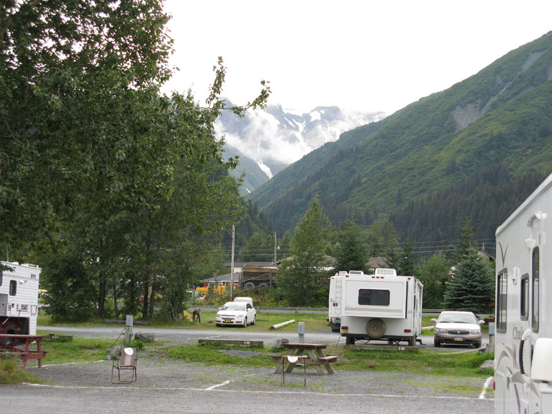
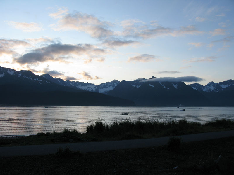
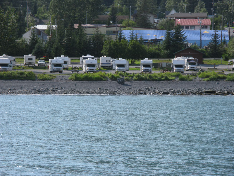
Morning brought another cloudy day. We headed back through Anchorage and turned south to Turnagain Arm and the Kenai peninsula. Driving along Turnagain Arm we saw what looked like Beluga whales surfacing. We stopped at a pulloff and another couple already stopped confirmed it. After driving around the end of Turnagain Arm, we headed south over the mountains down to Seward. At Seward, we picked a couple of waterfront sites in the community campground. We walked around a bit and saw salmon in a stream and a number of bald eagles hanging about.
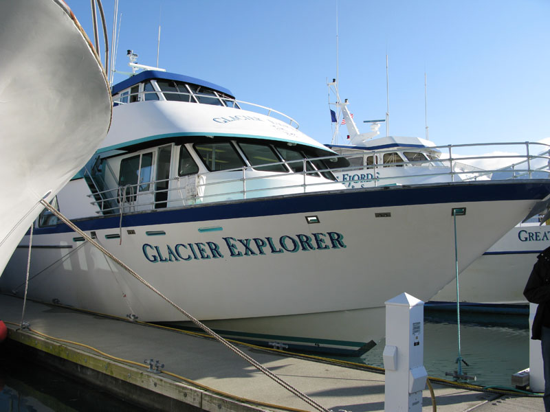
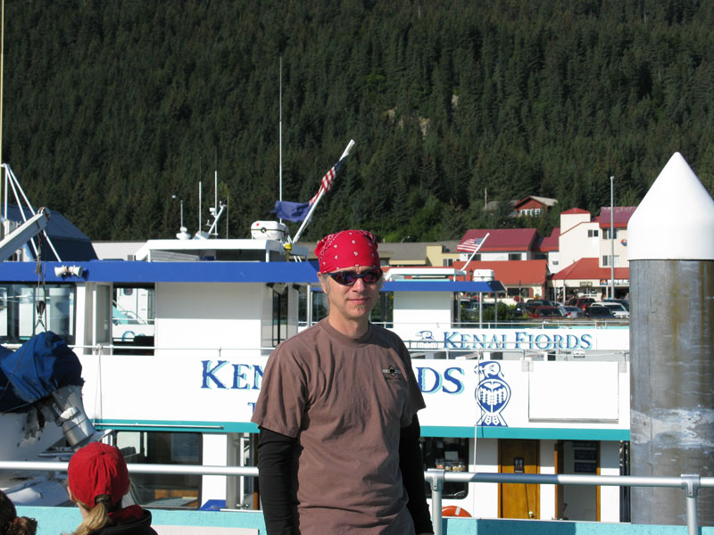
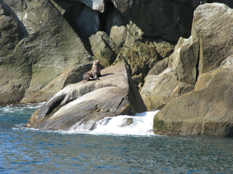
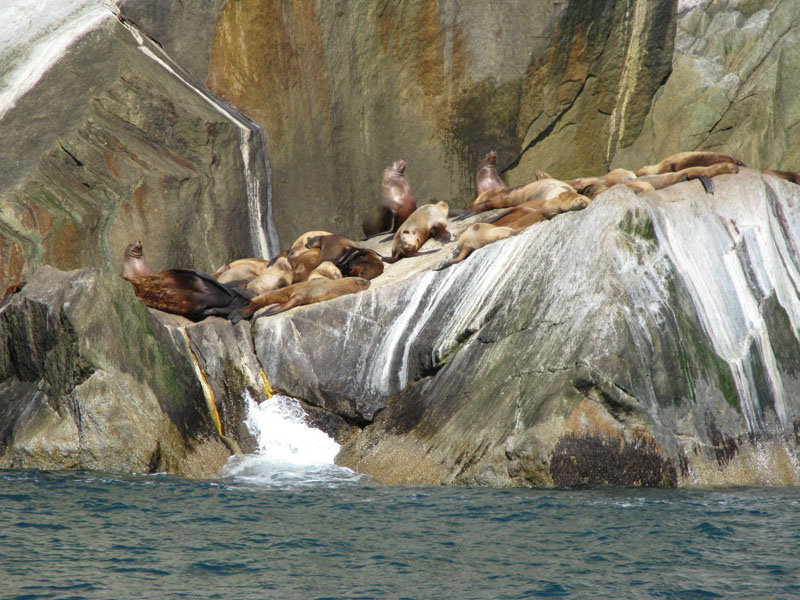
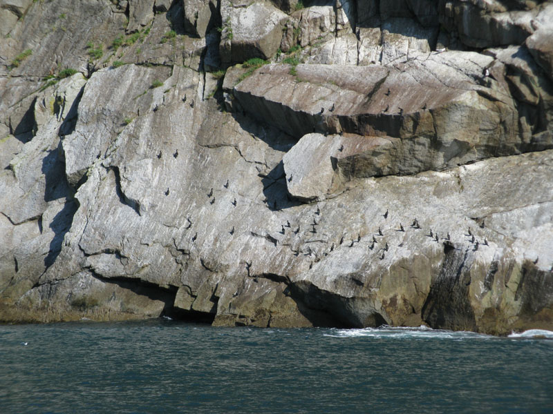
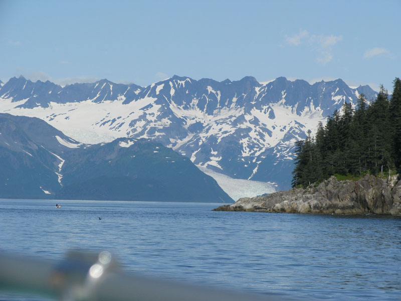
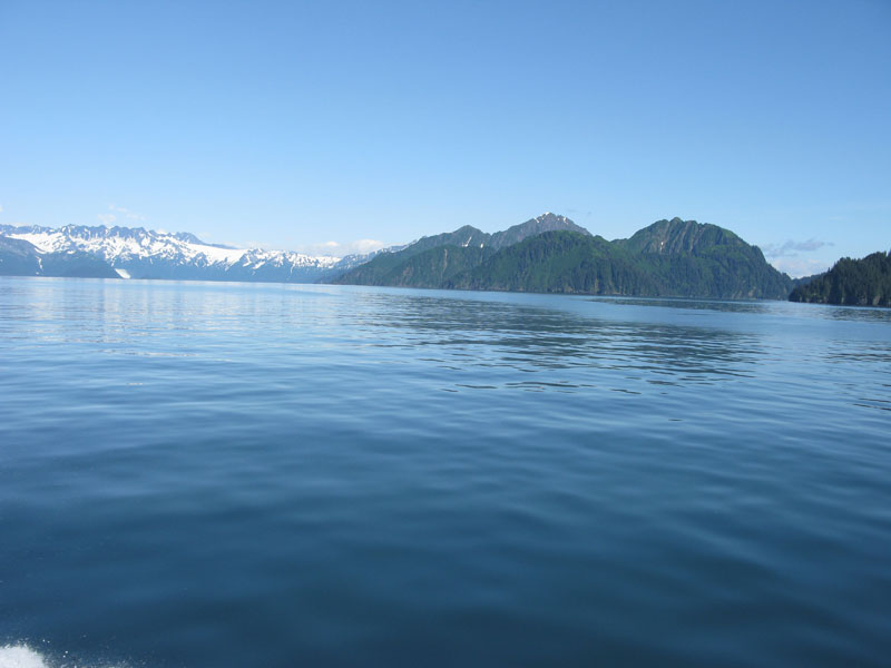
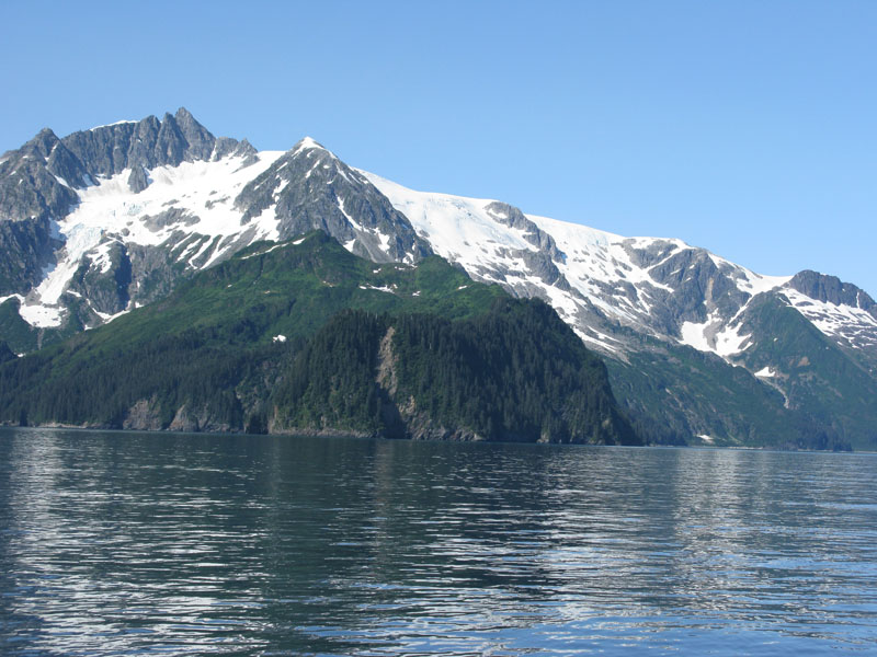
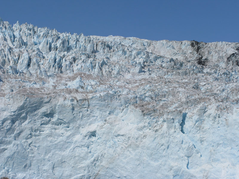
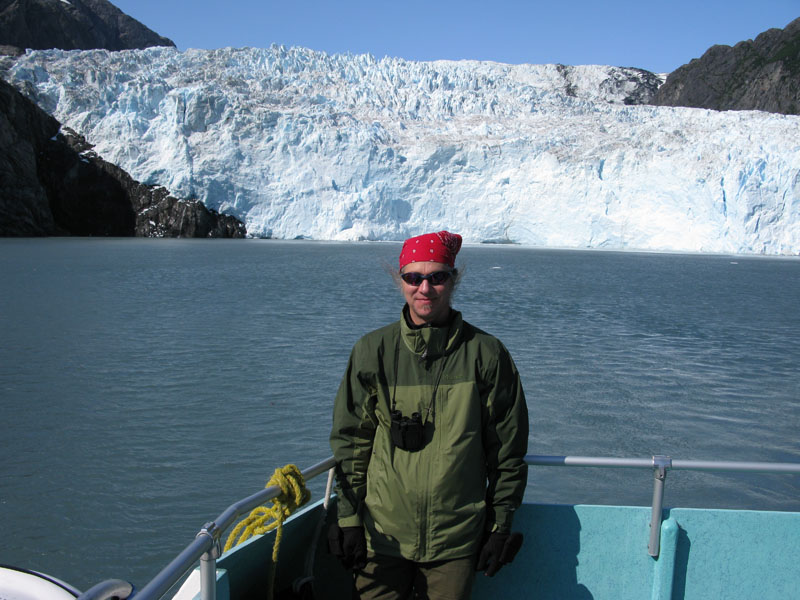
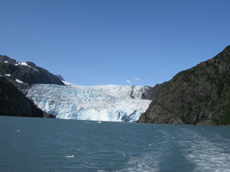
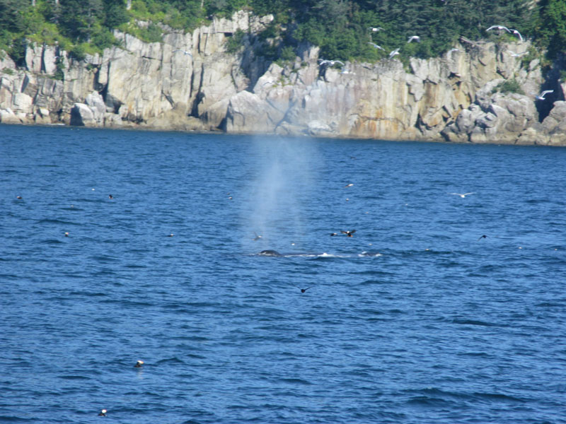
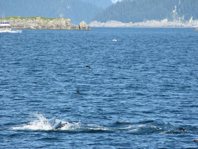
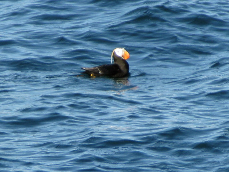
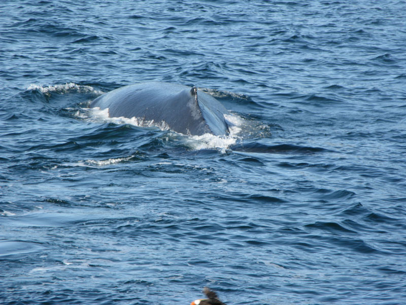
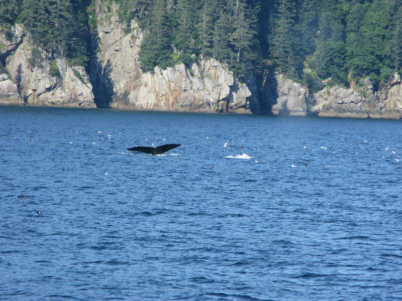
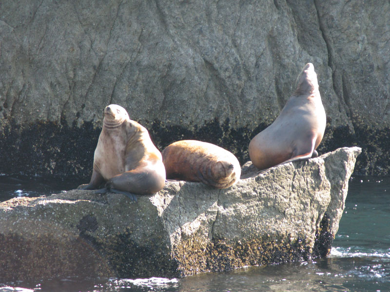
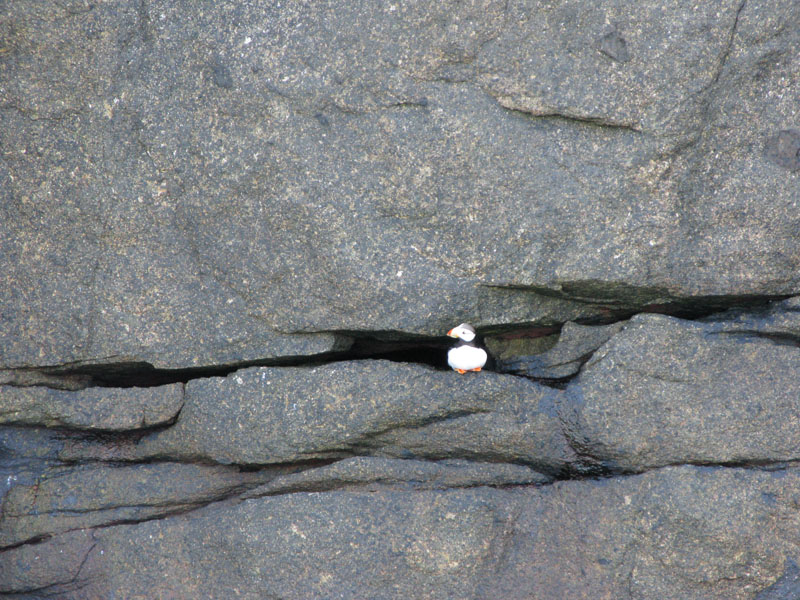
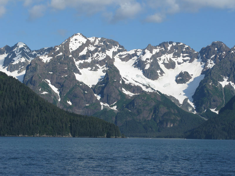
For Friday, we had booked a tour with Kenai Fjords Tours. This was a six hour boat ride from Seward south through Resurrection Bay, out into the Gulf of Alaska. From there we headed into Aialika Bay, which is in the Kenai Fjords National Park. The boat cruised up to the Holgate glacier, which is pretty massive. The cold air blowing off the glacier was pretty impressive. Along the way we saw sea otters, sea lions, whales, porpoises, puffins and many other birds. The weather was great with clear blue skies and reasonable temperatures (although we had our long johns on for the boat ride).
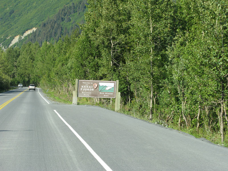
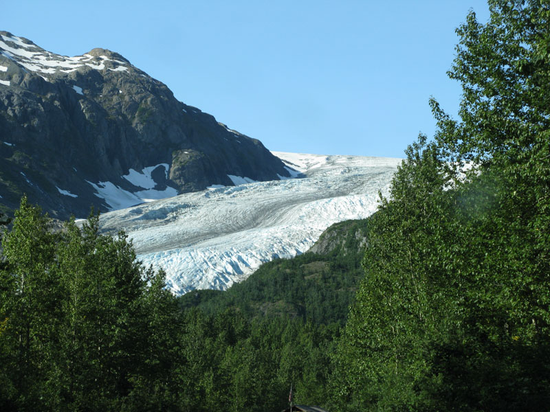
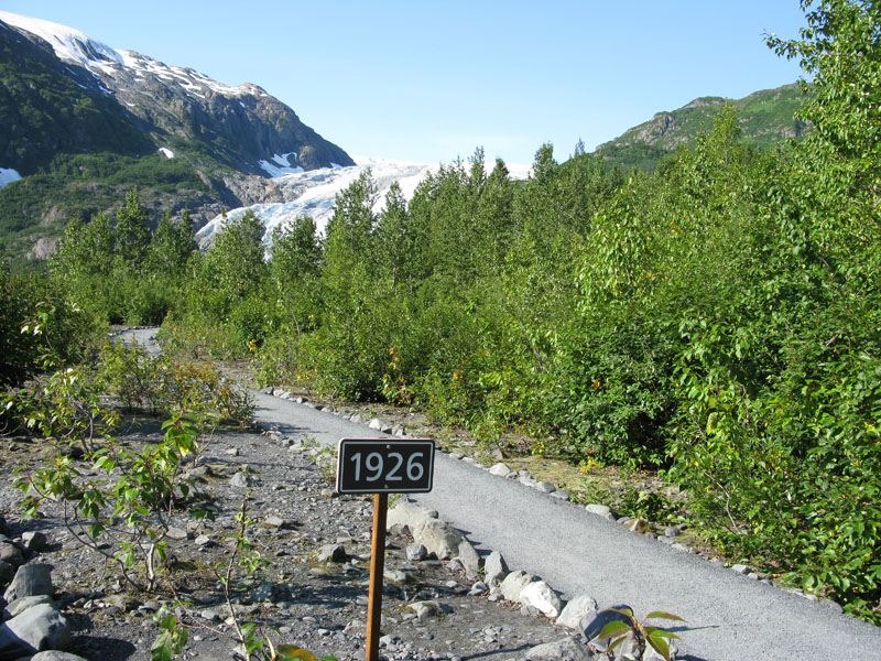
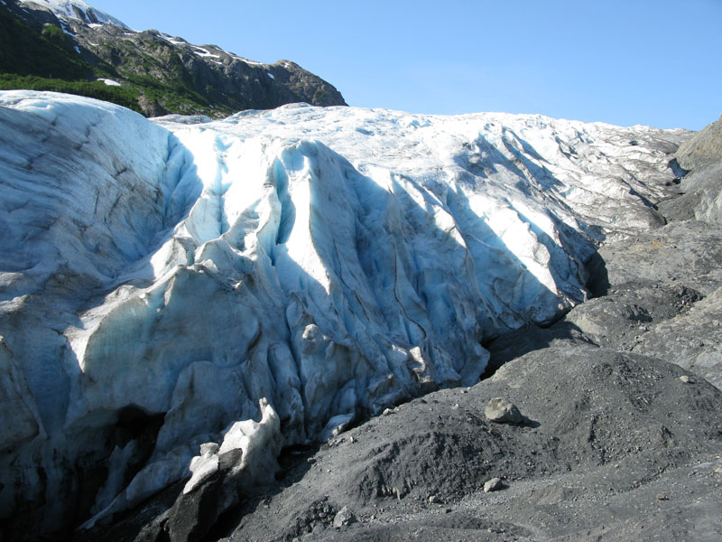
Saturday was another travel day. As we left Seward, we took a side trip to Exit glacier, the only glacier where we could get close to the base. From there we headed north and west across the Kenai peninsula past the city of Kenai for a quiet night at Captain Cook state park on the shores of Cook Inlet.
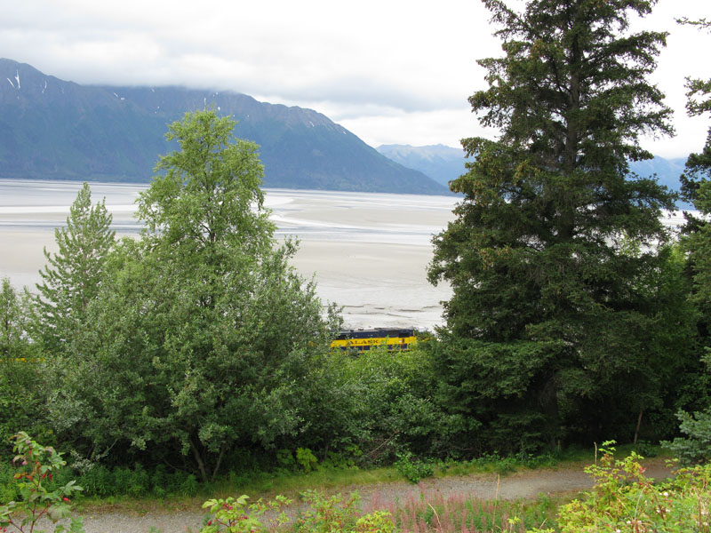
Sunday was more travel, ending at Bird Creek state park on the north shore of Turnagain Arm. The tide was out and the basin was a giant mud flat.
Monday started with a short drive to Anchorage to drop off the RVs at Great Alaska Holidays and head to the airport. On the way to the airport, we were treated to a view of Mt. Denali.
Alaska Pictures
Denali to Anchorage
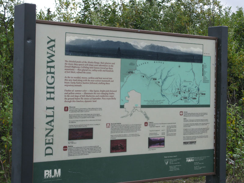 The Denali highway is basically a washboard gravel road for 130 miles. It connects the George Parks
highway to the Richardson highway.
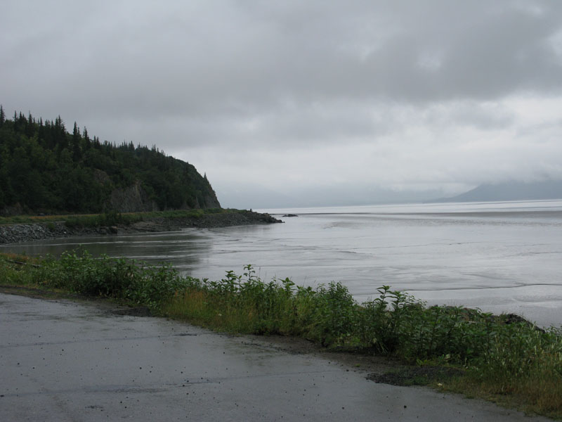 Turnagain Arm south of Anchorage. Due to the glacial feed it looks like there are rivers running through
the water.


